Read Same Domain GeoJSON Example
Note
Bing Maps Web Control SDK retirement
Bing Maps Web Control SDK is deprecated and will be retired. Free (Basic) account customers can continue to use Bing Maps Web Control SDK until June 30th, 2025. Enterprise account customers can continue to use Bing Maps Web Control SDK until June 30th, 2028. To avoid service disruptions, all implementations using Bing Maps Web Control SDK will need to be updated to use Azure Maps Web SDK by the retirement date that applies to your Bing Maps for Enterprise account type. For detailed migration guidance, see Migrate Bing Maps Enterprise applications to Azure Maps with GitHub Copilot.
Azure Maps is Microsoft's next-generation maps and geospatial services for developers. Azure Maps has many of the same features as Bing Maps for Enterprise, and more. To get started with Azure Maps, create a free Azure subscription and an Azure Maps account. For more information about azure Maps, see Azure Maps Documentation. For migration guidance, see Bing Maps Migration Overview.
The following code example takes a URL to a GeoJSON file that is hosted on the same domain as the application or has CORS enabled on the hosting server and parses it into a Bing Maps shape using the GeoJSON module, then adds it to the map.
<!DOCTYPE html>
<html>
<head>
    <title></title>
    <meta charset="utf-8" />
	<script type='text/javascript'>
    function GetMap() {
        var map = new Microsoft.Maps.Map('#myMap', {
            credentials: 'Your Bing Maps Key',
            zoom: 1
        });

        //Load GeoJSON module.
        Microsoft.Maps.loadModule('Microsoft.Maps.GeoJson', function () {

            //Read the GeoJSON file that is hosted on the same domain.
            Microsoft.Maps.GeoJson.readFromUrl('data/Countries.js',
                function (shapes) {
                    //Add the shape(s) to the map.
                    map.entities.push(shapes);
                });
        });
    }
    </script>
    <script type='text/javascript' src='http://www.bing.com/api/maps/mapcontrol?callback=GetMap' async defer></script>
</head>
<body>
    <div id="myMap" style="position:relative;width:1000px;height:800px;"></div>
</body>
</html>
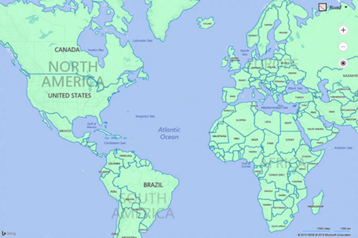
Here is what this GeoJSON file looks like on the map. All the country/region boundaries displayed as polygons.