Azure Maps
An Azure service that provides geospatial APIs to add maps, spatial analytics, and mobility solutions to apps.
833 questions
This browser is no longer supported.
Upgrade to Microsoft Edge to take advantage of the latest features, security updates, and technical support.
' cx='32' cy='32' r='32' /%3E%3Ctext x='50%25' y='55%25' dominant-baseline='middle' text-anchor='middle' fill='%23FFF' %3EF%3C/text%3E%3C/svg%3E)
I am using Azure maps to render markers on a map (pretty simple) using Javascript.
The data I'm using is split in multiple datasources (and I cannot merge them to have only one).
Each datasource have a Cluster layer, and a symbol layer.
Each cluster have a click event where I get the Cluster Expansion Zoom to zoom in where the cluster breaks into smaller clusters or markers.
Is there a way to get the source used by the cluster when I click on it (since the getClusterExpansionZoom() method is in the source object)?
Currently, I am looping through all the sources, and trying to get the zoom level, but I think this is not the right way to do it.
Thanks everyone :)

Ok, so you must be using the HTML marker layer then which is an extension module, as that would be the only way to create a cluster using an HTML marker. HTML markers don't normally connect to data sources and thus have no references to them. The HTML marker layer wraps a hidden bubble layer that's connected to a data source, and then creates/removes HTML markers as the map moves. One solution to your problem would be to create a different event handler for each data source you have. Here is a simple example that does this:
//A function that wraps a data source and returns an event handler function.
function markerClicked(source) {
    return function(e) {
        var marker = e.target;

        if (marker.properties.cluster) {
            //Get the cluster expansion zoom level. This is the zoom level at which the cluster starts to break apart.
            source.getClusterExpansionZoom(marker.properties.cluster_id).then(function (zoom) {

                //Update the map camera to be centered over the cluster.
                map.setCamera({
                    center: marker.getOptions().position,
                    zoom: zoom,
                    type: 'ease',
                    duration: 200
                });
            });
        } else {
            //Code for single marker location.

        }
    };
}

var markerLayer = new atlas.layer.HtmlMarkerLayer(datasource, null, {
    markerCallback: function (id, position, properties) {
        //Your logic for creating markers.
    }
});

//Add click event, wrap data source with handler.
map.events.add('click', markerLayer, markerClicked(datasource));
There is a way to get this using undocumented parts of the API. The GeoJSON feature used to represent the cluster has a "source" property, which is the ID of the data source. You can use this to look up the data source in the map. Here is an example:
var source = map.sources.getById(e.shapes[0].source);
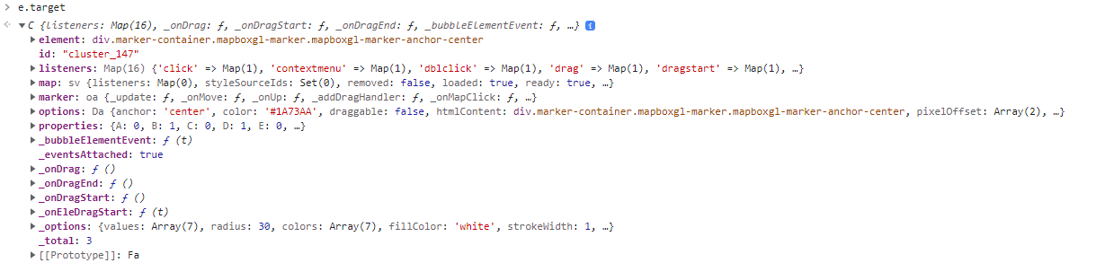
My object does not have the property
shapes
. In fact, the object I get from the click event on the cluster is an htmlMarker. I access it by using
e.target
(with
e
the event function parameter), and it has the following properties :