Note
Access to this page requires authorization. You can try signing in or changing directories.
Access to this page requires authorization. You can try changing directories.
SQL Server 2008 enables the use of geo-spatial data or location intelligence in four ways:
- a new geography data type (there's another one for 2D geometry), which can store points, lines, line segments and polygons
- A rich set of functions to make use of them, e.g. whether they intersect, how far are they away etc.
- a special indexing mechanism to enable the function to perform quickly
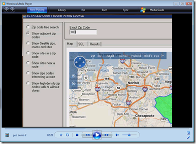
- Virtual earth integration so your users can see the results on a map without resorting to any extra software investment, while keeping their data in a secure database.
Below is a short blogcast to show how these come together following on from my last two blogcast's on this interesting aspect of SQL Server 2008...
Technorati Tags: SQL Server 2008,Geospatial
Comments
Anonymous
March 19, 2008
Geography & Geometry has much significance in day to day life, within that as a data now you canAnonymous
March 20, 2008
Geography & Geometry has much significance in day to day life, within that as a data now you can