What is Azure Maps Creator?
Azure Maps Creator is a first party geospatial platform that enables you to create and render maps, based on indoor map data, on top of the outdoor map in your web and mobile applications.
Services in Azure Maps Creator
Creator is a platform for building indoor mapping solutions for all your needs. As an extension of Azure Maps, Creator allows blending of both indoor and outdoor maps for a seamless visual experience. Creator supports generating indoor maps from CAD drawings (DWG) or GeoJSON and enables custom styling of the map. You can also provide directions within your indoor map using wayfinding.
Conversion
An onboarding tool is provided to prepare your facility's DWGs by identifying the data to use and to positioning your facility on the map. The conversion service then converts the geometry and data from your DWG files into a digital indoor map.
The first step in creating your indoor map is to upload a drawing package into your Azure Maps account. A drawing package contains one or more CAD (computer-aided design) drawings of your facility along with a manifest describing the drawings. The drawings define the elements of the facility while the manifest tells the Azure Maps Conversion service how to read the facility drawing files and metadata. For more information about manifest properties, see Manifest file requirements and for more information on creating and uploading a drawing package, see the Drawing package guide.
Dataset
A collection of the indoor map features of a facility. Update your facility dataset through a visual editor and query for features in real time using the Features API. For more information, see Work with datasets using the QGIS plugin.
Rendering
Tilesets, created from your data, are used to render maps on mobile devices or in the browser.
Styling
Custom styling enables you to customize your indoor maps to meet your needs. You can customize your facility’s look and feel to reflect your brand colors or emphasize different rooms or specific areas of interest. Everything is configurable from the color of a feature, an icon that renders, or the zoom level when a feature should appear, resize or disappear. You can define how your data should be styled in the visual style editor. For more information, see Create custom styles for indoor maps.
Wayfinding
A Routeset is automatically created for your facility. Wayfinding uses that routeset to provide your customers with the shortest path between two points using the Wayfinding service.
SDK
Use the Azure Maps Web SDK to develop applications that provide a customized indoor map experience. For more information, see Use the Azure Maps Indoor Maps module.
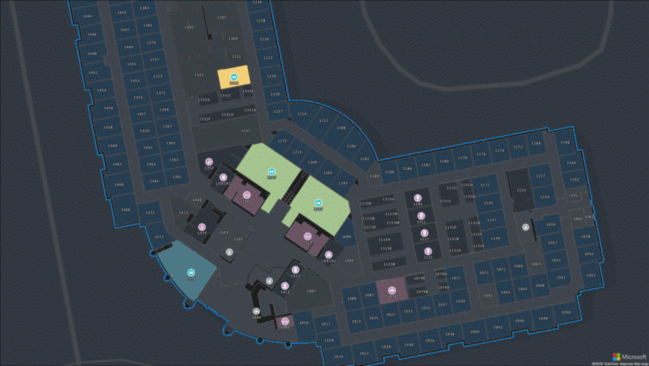
The indoor maps workflow
This section provides a high-level overview of the indoor map creation workflow.
Create. You first must create a drawing package containing one or more CAD (computer-aided design) drawings of your facility along with a manifest describing the drawings. You can use the Azure Maps Creator onboarding tool to create new and edit existing manifest files.
Upload. Upload your drawing packages into your Azure Storage account. For more information, see How to create data registry.
Convert. Once the drawing package is uploaded into your Azure Storage account, use the Conversion service to validate the data in the uploaded drawing package and convert it into map data.
Dataset. Create a dataset from the map data. A dataset is collection of indoor map features that are stored in your Azure Maps account. For more information, see Work with datasets using the QGIS plugin.
Tileset. Converting your data into a tileset allows you to add it to an Azure Maps map and apply custom styling.
Styles. Styles drive the visual appearance of spatial features on the map. When a new tileset is created, default styles are automatically associated with the features it contains. These default styles can be modified to suit your needs using the visual style editor. For more information, see Create custom styles for indoor maps.
Wayfinding. Provide your customers with the shortest path between two points within a facility. For more information, see Wayfinding.
Azure Maps Creator documentation
 Concepts
 Tutorials
 How-to guides
- Manage Creator
- Implement Dynamic styling for indoor maps
- Query datasets with WFS API
- Custom styling for indoor maps
- Indoor maps wayfinding service
- Edit indoor maps using the QGIS plugin
- Create dataset using GeoJson package
- Create a feature stateset
 Reference
Tilbakemeldinger
Kommer snart: Gjennom 2024 faser vi ut GitHub Issues som tilbakemeldingsmekanisme for innhold, og erstatter det med et nytt system for tilbakemeldinger. Hvis du vil ha mer informasjon, kan du se: https://aka.ms/ContentUserFeedback.
Send inn og vis tilbakemelding for